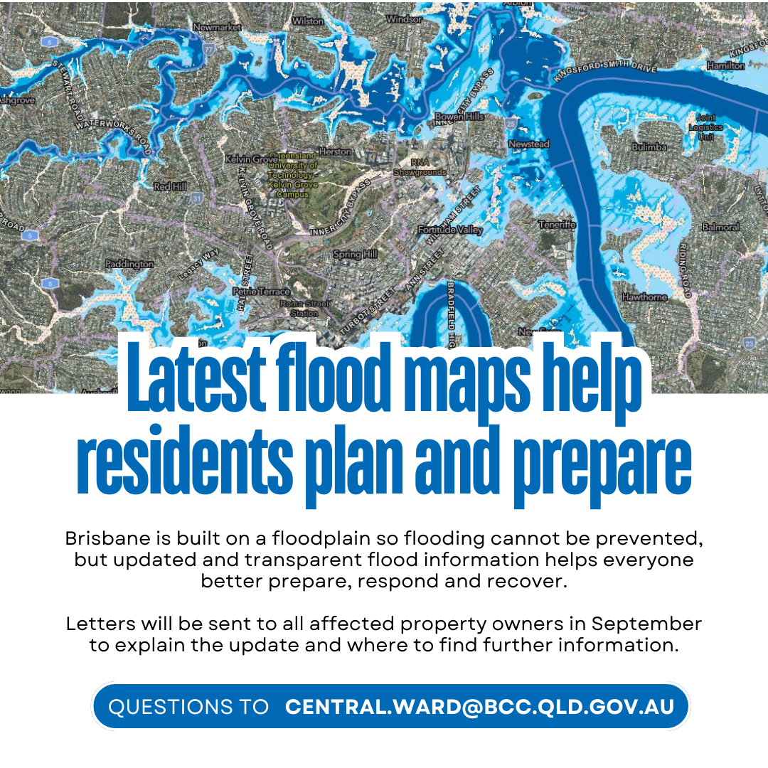
Latest flood maps help residents plan and prepare
Latest Flood Map Preparation with more than 17,000 properties has been updated to ensure a safer, more flood-resilient Brisbane.
Flood studies were completed for Breakfast Creek, Jindalee and Lota Creek Catchments last year and will be incorporated into Brisbane City Plan’s flood overlay mapping on 19 September.
This mapping update will impact 17,246 properties with 400 properties removed, 10,129 properties added and many others having changes to their extent of flood risk.
These updates apply only to creek and waterway flooding, not Brisbane River or overland flow flooding.
Brisbane is built on a floodplain so flooding cannot be prevented, but updated and transparent flood information helps residents better prepare, respond and recover.
Letters will be sent to all affected property owners in September to explain the update and where to find further information.
The flood risk update for many of the properties can be as low as a 1 in 2000-year event, and it is important insurance companies do not try and cash in on this change and unfairly increase insurance premiums.
A 1-in-2000-year flood event represents a very low likelihood of flooding in any given year, but this information ensures residents are informed of foreseeable risks,
These changes are part of a rolling program of flood preparedness initiatives with 29 flood studies completed in the past decade including catchments at Kedron Brook (2024) and Bulimba Creek (2023).
We can’t prevent flooding in Brisbane, but being prepared can make a huge difference.
No two floods are the same, but we are committed to giving residents the most up-to-date information, so they can make confident decisions to be prepared and protect their properties.
We’ve used the latest, peer-reviewed data to ensure residents and developers can rely on these updates when it comes to future development or renovations.
Whether it’s preparing a family home or planning new infrastructure, knowing your flood risk matters and we want residents to have the latest information.
Latest Flood Map Preparation means these changes are part of our year-round work to ensure Brisbane is resilient, informed and ready for severe weather.